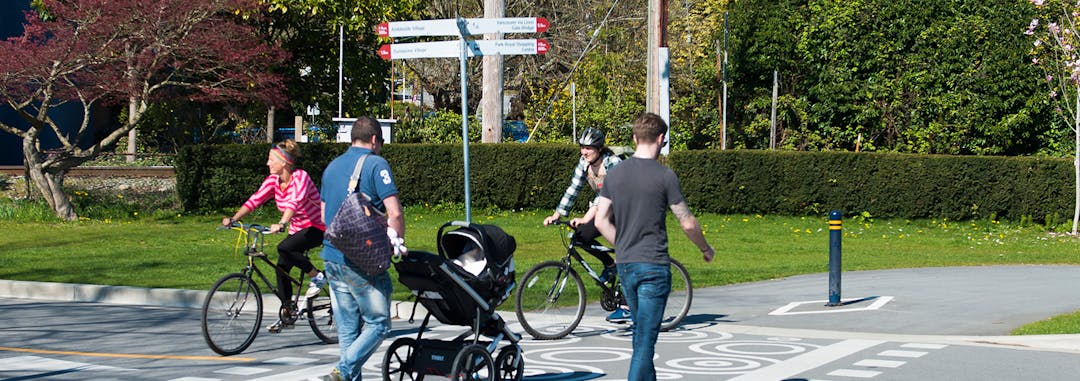
The term wayfinding refers to information systems that guide people through a physical environment and enhance their understanding and experience of the space. For example, when you visit a new city or place, easy-to-read signage and helpful visitor information make travelling less stressful.
The District is working with the consulting team at Applied Wayfinding to prepare a Community Wayfinding Plan, with anticipated completion in spring 2020.
Rather than developing a series of piecemeal wayfinding projects by different groups, we are building a comprehensive community wayfinding plan to address broader objectives and opportunities.
The plan’s objectives are to inform the travelling public of West Vancouver’s visitor offerings; capture regional visitor traffic to support local business and amenities; help direct pedestrians, cyclists and motorists within the community; and establish a standardized wayfinding vocabulary and design.
Background
Implementation of the Economic Development Plan is one of Council’s Strategic Goals and Objectives for 2019-2020. A key strategy of this Plan is to position West Vancouver as a visitor destination in the Sea-to-Sky and Metro Vancouver tourism markets.
A Community Wayfinding Plan supports implementation of this strategy by increasing visitation to local businesses, arts and cultural facilities, special events, community programs and other local attractions – both by West Vancouver residents and tourists.
While community wayfinding is most critical for visitor movement both to and within West Vancouver, it is also beneficial for raising resident awareness of community offerings and venues.
What kind of wayfinding does West Vancouver need?
We started the conversation with community stakeholder groups (such as businesses, arts organizations and recreation-based community groups) as well as the general public to find out what kind of wayfinding is needed in West Vancouver.
What is a Community Wayfinding Plan?
The term wayfinding refers to information systems that guide people through a physical environment and enhance their understanding and experience of the space. For example, when you visit a new city or place, easy-to-read signage and helpful visitor information make travelling less stressful.
The District is working with the consulting team at Applied Wayfinding to prepare a Community Wayfinding Plan, with anticipated completion in spring 2020.
Rather than developing a series of piecemeal wayfinding projects by different groups, we are building a comprehensive community wayfinding plan to address broader objectives and opportunities.
The plan’s objectives are to inform the travelling public of West Vancouver’s visitor offerings; capture regional visitor traffic to support local business and amenities; help direct pedestrians, cyclists and motorists within the community; and establish a standardized wayfinding vocabulary and design.
Background
Implementation of the Economic Development Plan is one of Council’s Strategic Goals and Objectives for 2019-2020. A key strategy of this Plan is to position West Vancouver as a visitor destination in the Sea-to-Sky and Metro Vancouver tourism markets.
A Community Wayfinding Plan supports implementation of this strategy by increasing visitation to local businesses, arts and cultural facilities, special events, community programs and other local attractions – both by West Vancouver residents and tourists.
While community wayfinding is most critical for visitor movement both to and within West Vancouver, it is also beneficial for raising resident awareness of community offerings and venues.
What kind of wayfinding does West Vancouver need?
We started the conversation with community stakeholder groups (such as businesses, arts organizations and recreation-based community groups) as well as the general public to find out what kind of wayfinding is needed in West Vancouver.